|
|
 |
| FTLComm - Tisdale to Prince Albert - April 13, 2001 |
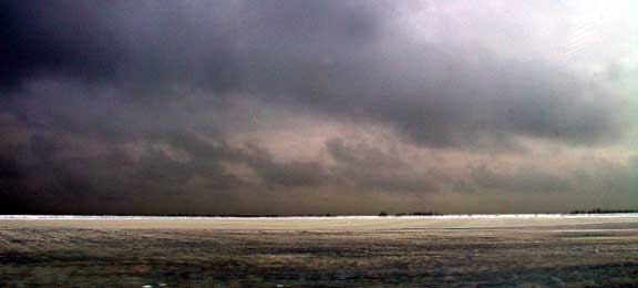
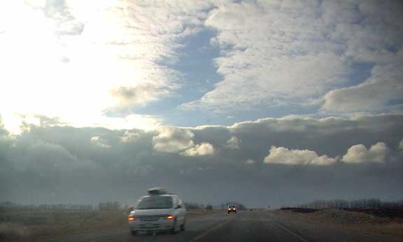
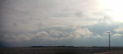 After the dull realities of winter the multidimensional nature of spring skies is a real treat and despite the odd snow flurry and sprinkles of rain Thursday the sky was far more interesting than the passing countryside as I cruised up to Prince Albert. The first picture was just East of Star City where you can see the low scud from the precipitation process and this picture (right) near Melfort gives a similar view. |
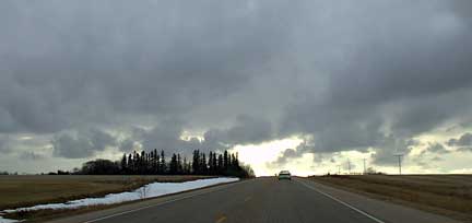 Climbing the Birch Hill we can see the tattered sky rippling across the country with shafts of brilliant light diving through solid overcast well above. As we cross over the top of the hill and look down toward the town of Birch Hills these formations take on a slightly different tone as they stretch out far to the West. |
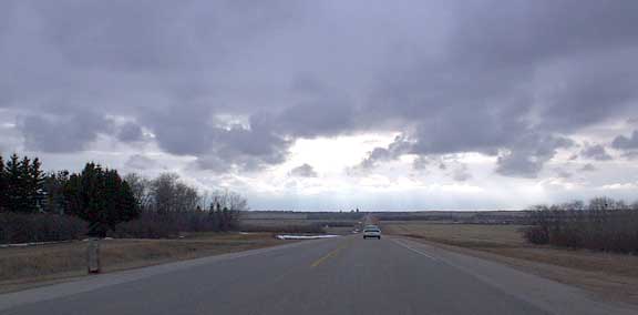 |
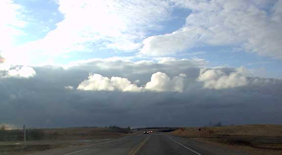
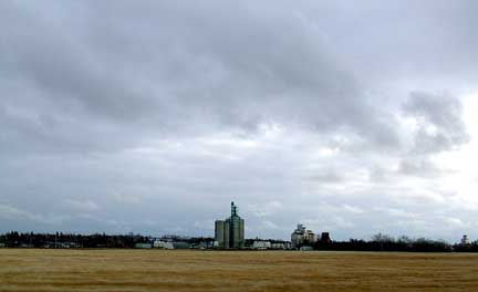 This picture looks South toward the UGG terminal at Birch Hills and the fingers of the wet clouds seem to curl down over the community with trailing pieces of their gaseous entity tumbling behind. It was near the Muskoday that the real features of the spring sky really began to emerge. (Below) Here three separate levels of cloud are obvious the scud from the rain and snow close to the ground, then the solid bank of cumulus above then much higher, 15,000 or more is the altostratus layer that diffuses the later afternoon sunlight. |
 |
 |
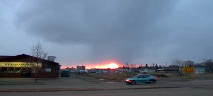 But with the setting of the sun the day's sky show comes to a close. This scene from the East side of Prince Albert show the sun departing and in our drive home to Tisdale there were only the casual totally lost snow flake or two wandering around aimlessly. But, during the night a little more precipitation had descended as the ground was a pale white but the temperature only dropped below freezing for a few hours. |