 |
|
Unsettled Conditions For A Day Or Two |
| FTLComm - Tisdale - May 31, 2001 |
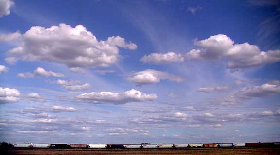
| The clouds on Wednesday afternoon (5:00p.m.) tell the story of a somewhat unpredictable
weather system moving across the prairies. High above are the wispy telltale signs
of high winds aloft, cirrus clouds which suggest a well developed movement of West
to East air mass moving from the Gulf of Alaska across the continent, a little damp
but moving with the jet stream. Below, only a few thousand feet above the ground (due to the low temperature) are the puffy cumulus clouds that tell us that there is some moisture in the air but because there is not enough heat they are not developing into towering cumulus thunder showers. |
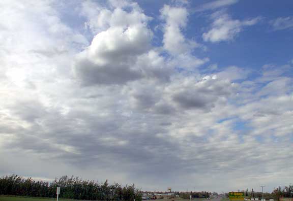 |
| The picture above shows yet another level of stratocumulus cloud at about 12,000
tumbling along with the Westerly wind. This formation can thicken up and produce
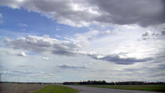
rain but this is the leading edge of the system. Below we can see all three cloud layers spread out above us foretelling of what weather forecasters like to refer to as unsettled conditions. Essentially, unsettled conditions is a term to describe a weather system that defies prediction. The wind is blowing the system of damp Pacific air along but it is cool air and without sufficient heat to produce show activity, however, it can produce periods of light rain, on the other hand it can also whistle right on by or instead produce steady rain if it encounters a strong low pressure system in front of it, in any case for the next few days the weather will not be warm,, the sun will not be seen much and there may or may not be some precipitation, its unsettled. |
 |