 |
|
Between Lakes |
| FTLComm - Lake Manitoba - Friday, August 3, 2001 |
| From the national news it seems that the only time Manitoba hits the news is when
there is a mammoth flood but anyone who has driven around the province soon discovers
that Manitoba seems to be mostly under water. Like Saskatchewan from the tree line
North Manitoba is a giant lake interrupted by occasional pieces of land covered with
rocks and trees. The middle section of the province is dominated by the two lakes
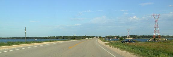
that rival the Great Lakes in size. On our trip from Tisdale to Winnipeg Thursday we decided to slip across the border East of Sturgis and Norquay and make our way past Duck Mountain Provincial park over to the lush farm land around Dauphin then head further East to loop around the narrow isthmus that almost cuts Lake Manitoba into two parts then head South East to Winnipeg in what is known locally as the "Interlake" county, that mercilessly flat region of ranch land between Lake Winnipeg and Lake Manitoba. Clearly with only a few feet more water in those lakes and there would be no "Interlake" region as it is only a few feet above the surface of the two shallow lakes that make most of the map of the province blue. It is interesting to note that as we were doing that we noted in Allan Fotheringham's McLeans editorial that a group in Manitoba studying global warming have realised that if the water in the Rockies is melted there would be a good chance that in a few years the vast waterscape of Manitoba would drain into Hudson Bay leave a swamp behind. |
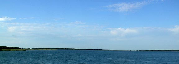 |
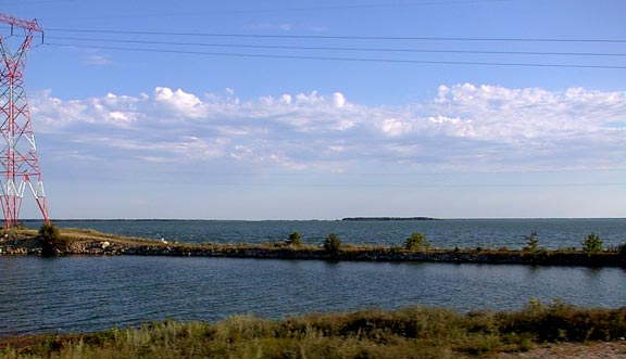
| The picture above shows Lake Manitoba as it stretches toward the North while the view below looks down the length of the huge lake toward Winnipeg and the South East. |
 |