Kamloops - June 25, 1999
By: Michael Townsend
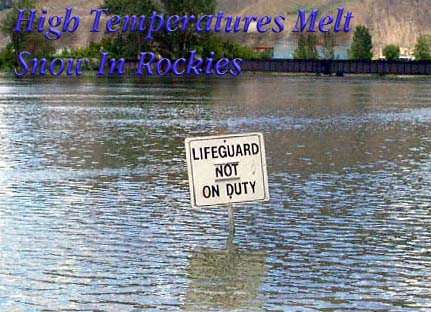
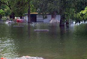
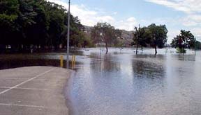
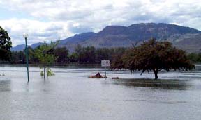
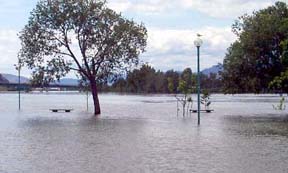
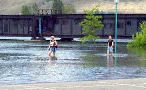
Unusually warm temperatures in the Western Canadian Rockies produced extreme water levels in all of Southern British Columbia's rivers. Some communities like Salmon Arm have suffered heavy losses of property from the flooding.
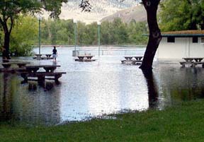
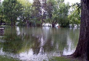
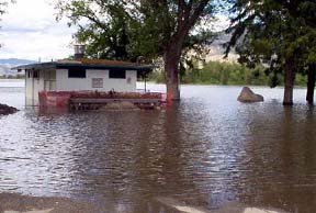
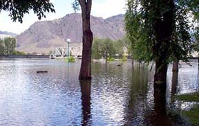
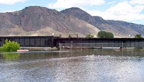
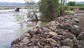
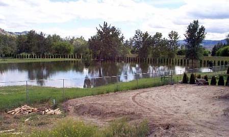
The South Thompson is one of the rivers effected and these pictures show what is happening in Kamloops. The levels are very high, higher than I have seen them before. Up river they are experiencing some serious flooding as well. And with the rain expected today, well, we will
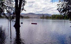
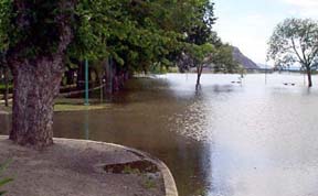

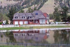
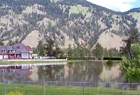
This last picture is a shot of the bank just down the road from my house. As you may or may not be able to tell the river would have to rise a good meter to reach those houses and at least 2.5 meters to
reach mine.
At this point they are saying the North Thompson has peaked.