Lake Regina
Regina - Wednesday, July 6, 2011 by: Ken Jones
Below we are only a bit further west and looking south of Indian Head.
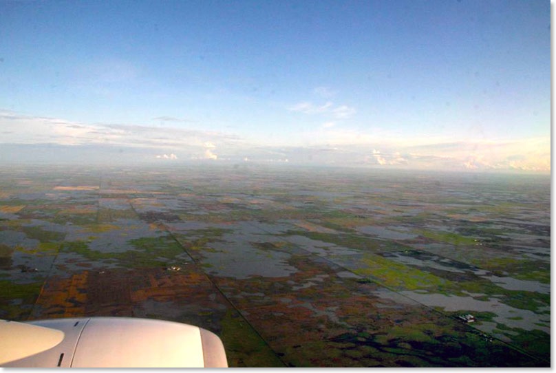
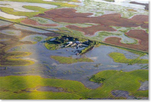
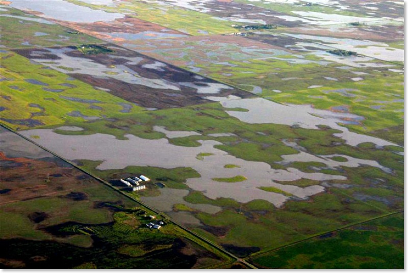
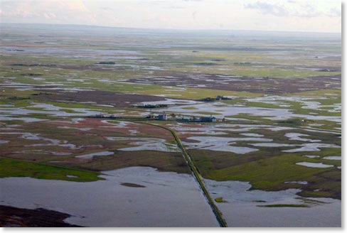
The farmyard on the right is close to the area seen above but in this case not only are the fields flooded by the farm yard itself looks to be mostly under water.
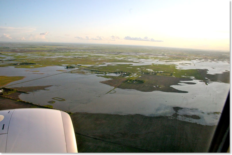
Below we are much closer to Regina as we look south of White City. In this picture notice how the rural access roads are interrupted and at this perspective only patches of farm land poke up through the flooded countryside.
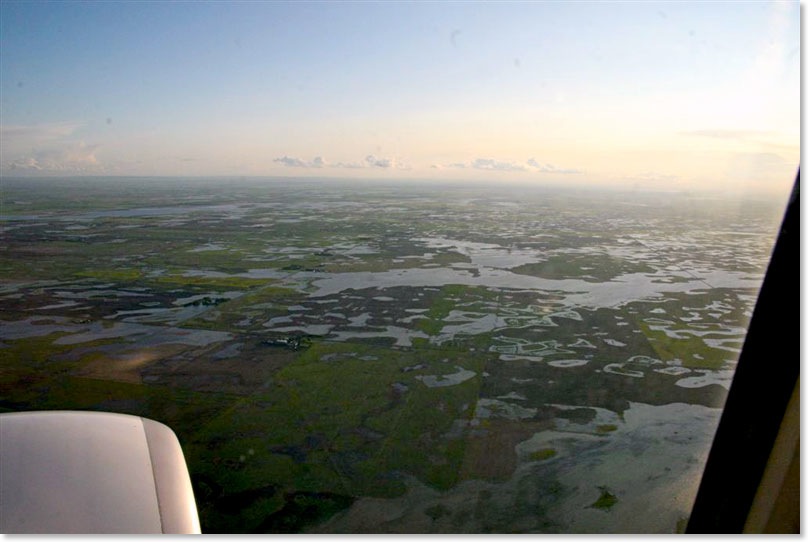
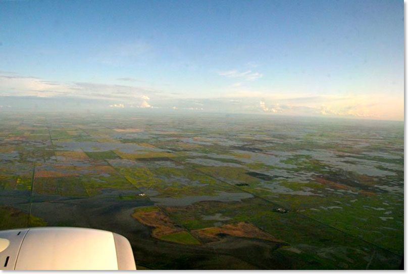
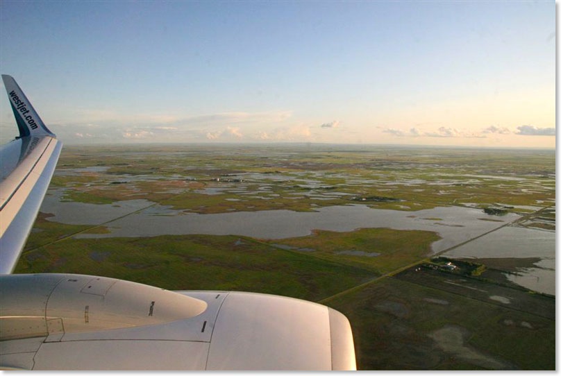
In the wide view below we are looking south of Regina. The shocking reality in this picture is that as you look out toward the southern horizon the situation seems to be about the same.
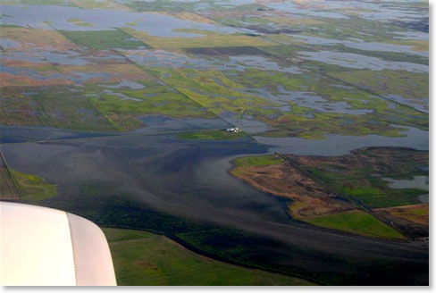
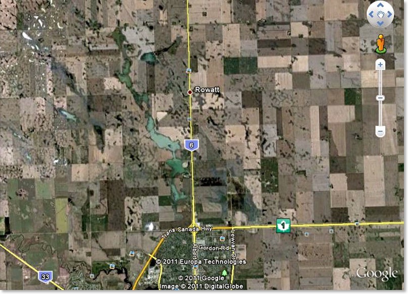
The picture below is just advanced a bit further west as we look back and south, Rowatt is visible in the picture south of Regina but between the city and Rowatt is a newly formed lake. Only a foot or so deep but miles and miles long.
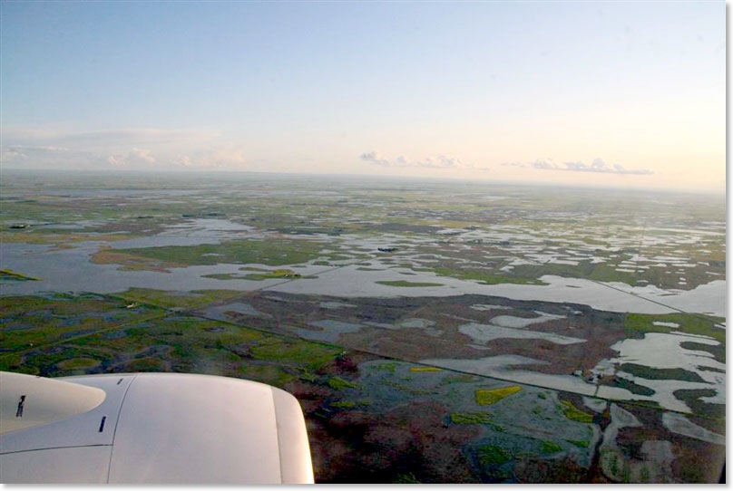
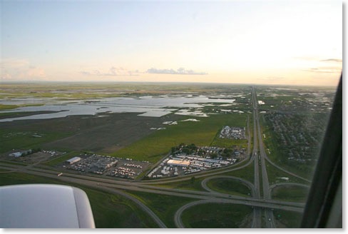
This image below is looking over highway #6 to Lewvan with full quarter sections of land under water. Unless these farmers can come up with enough heat to grow rice this is not going to be a crop year for this part of Saskatchewan.
Below is this area as it was shown in Google Earth before this year’s flooding in 2006. This view is as things would look from close to eleven miles above the surface looking straight down. The gradual accumulation of surface water has been taking place all across southern Saskatchewan so that sloughs and ponds have just spread out. The Quill Lakes are no longer “lakes” but are now just one single lake.
This spreading of surface water is less dramatic in some areas where the bodies of water have well developed shore lines like the Qu’ Appelle chain of lakes.
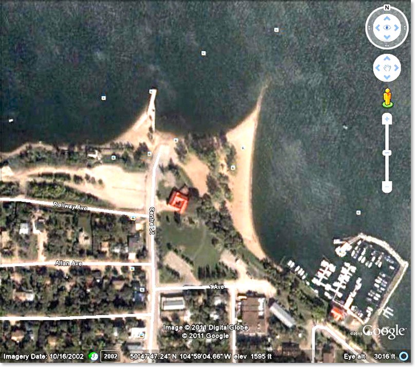
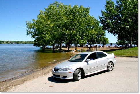
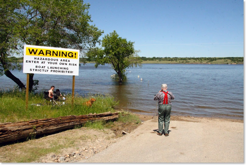
Last Mountain Lake which runs from north west of Regina up to just south of Watrous is an example of how much water we have this year in Saskatchewan.There are no towns or villages on the lake so we have not heard about flooding and damage. The Google Earth view below is of Regina Beach. In this 2002 image you can see beach. Notice the location of the trees on the beach in this image.