|
Wet Winnipeg |
||||||||||
|
The image above is a QuickTime VR and if you do not see
the picture your |
||||||||||
| FTLComm - Winnipeg - Friday, April 9, 2004 Images by : Cassandra and Timothy Shire | ||||||||||
Though there is serious flooding North of Winnipeg caused by ice restricting the flow of the river, 2004 is not looking like it will be one of Winnipeg's flood years. Manitoba is flat and right around Winnipeg, as is the case around Regina Saskatchewan, both cities lie in what once were a lake bottoms. This means that if there is sufficient snowfall during a winter the likelihood of the Red River and Assiniboine River staying within their banks is unlikely. |
||||||||||
When you look at a map of Manitoba you can easily see its problem, those to massive lakes drain into the bedrock terrain of the shield and with just a little more water simply expand southward gobbling up the middle of the province all the way to and including the northern portion of North Dakota. |
||||||||||
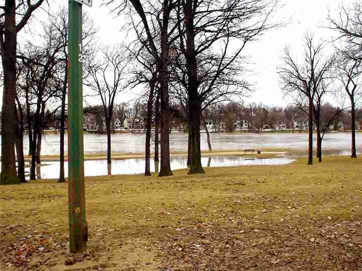
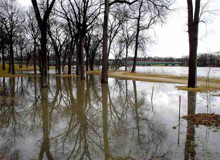
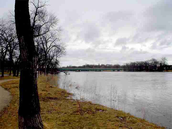
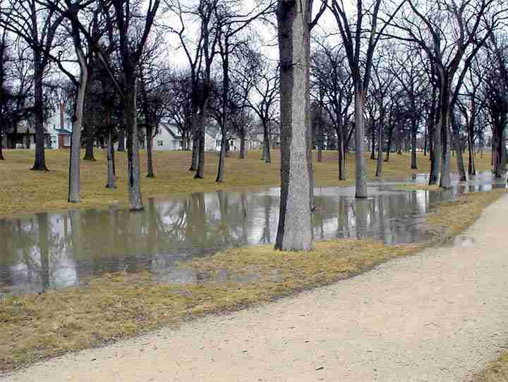
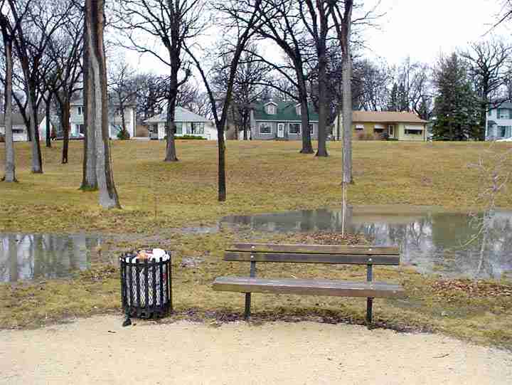
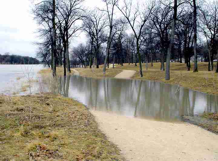
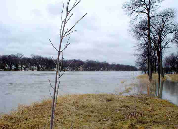
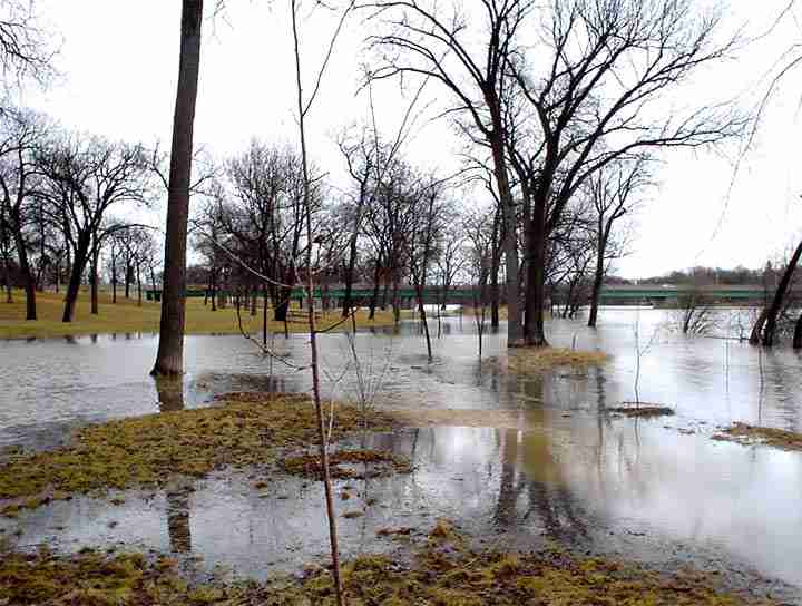
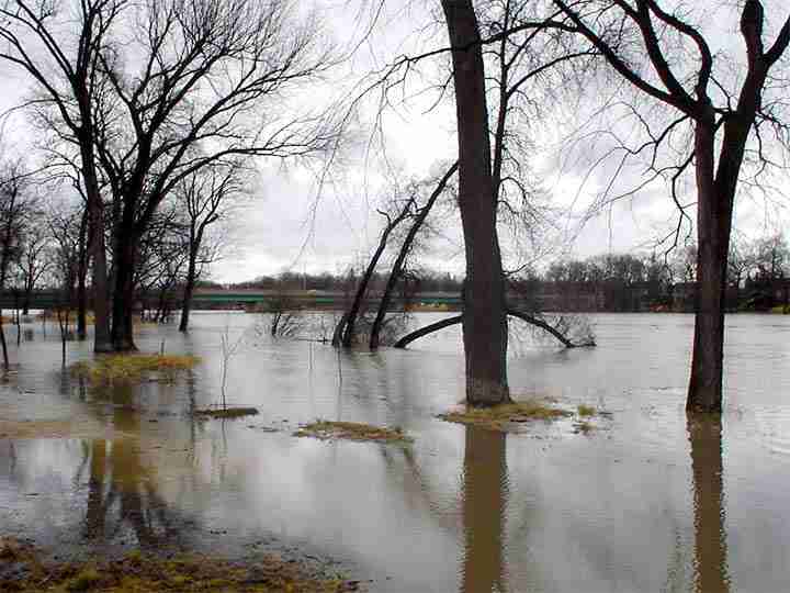
This past week Timothy (II) and Cassandra went down to the river to see how things are going and as you can see in this collection of images the river is full and edging its way into some low lying park area along the river. But for most Winnipegers this is a good year. |
||||||||||
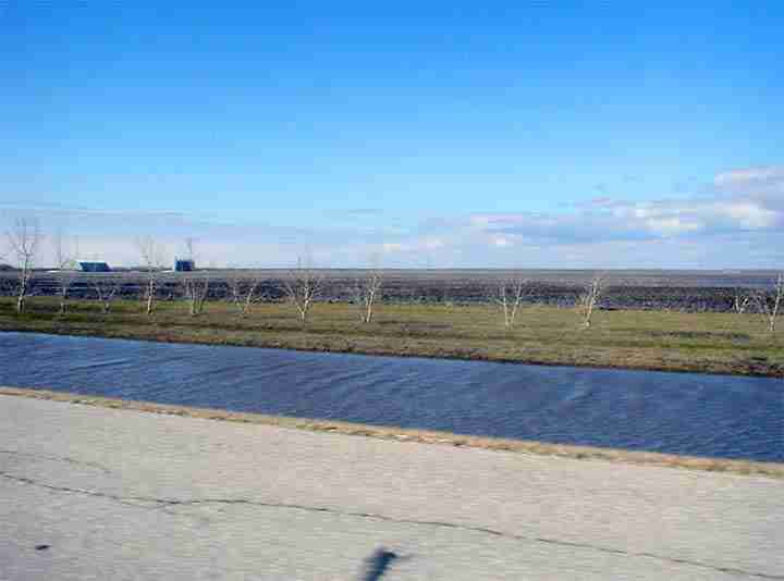
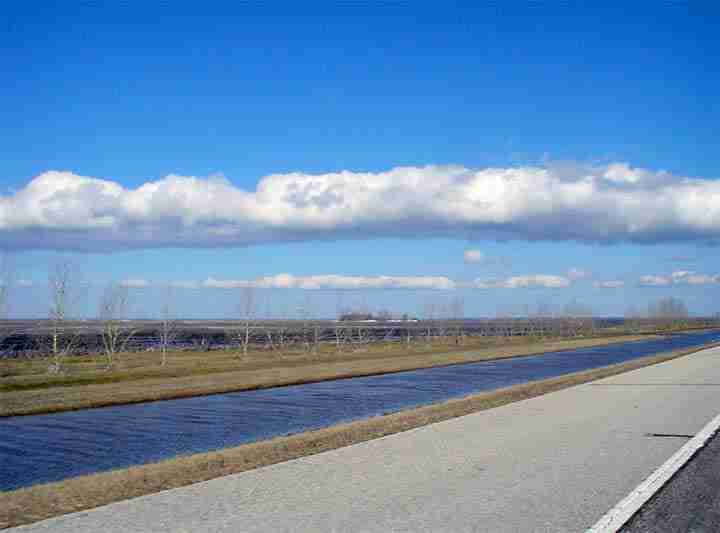
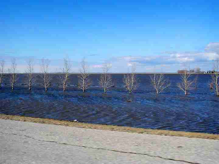
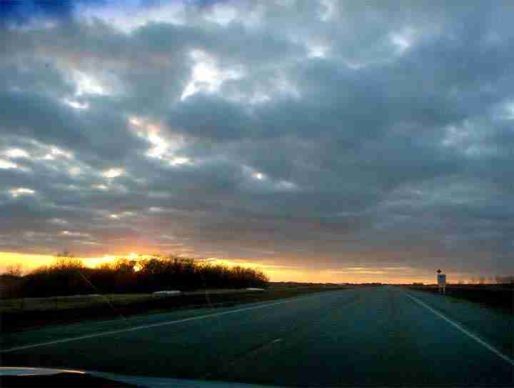
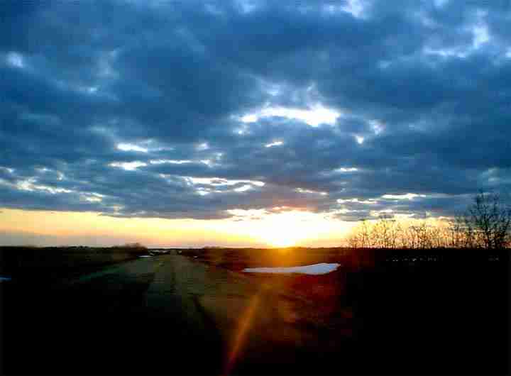
On Wednesday the couple drove out of the city and made their way across Manitoba and ultimately to Tisdale. The flat lands west of Winnipeg toward Eli have the normal amount of run-off and as you can see some farmland is under water. This is normal for this area and the rich soil under that water will reward its farmers with excellent crops of potatoes, corn and sunflowers. Sunset occurred in Saskatchewan and the last picture of this set was taken just west of Churchbridge on the highway toward Melville. |
||||||||||
|
|
||||||||||
