|
|
||||||
Over the banks |
||||||
| FTLComm - Tisdale- Monday, April 16, 2007 | ||||||
These pictures were taken this morning around eleven and begin at the top of the page looking across the little pasture on the south side of the highway at the bridge east of town. The pasture is completely under water. |
||||||
 |
||||||
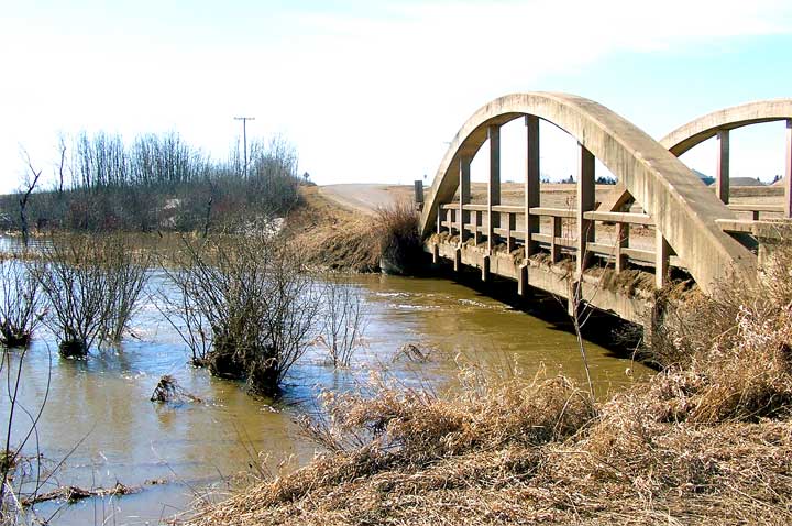
The CN railway trestle is handling the gentle flow but the walk bridge is no where in sight (right). With the river now out of its banks and spread out so wide it is not appearing to flow quickly but just tumbling along, free of ice and moving vast amounts of spring run off. |
||||||
 |
||||||
The picture on the right shows the extent of the flooding north of the golf course as the whole area is now pretty much a flood plain. This is not that unusual it is just that the height of the flooding is much higher than we have seen in the recent past. Below the road way to Little's and the bridge is completely covered with moving water. |
||||||
 |
||||||
On the north side of town where the town dumps the street cleaning snow the whole area is under water as it surges around the piles of ice and melting snow. Below we can see the river is still sneaking under the "old highway" bridge and there are no ice jams or float sam impeding the movement of the water so it is reasonable to expect the flow to continue with out any undue damage to the roadway or the bridge. Despite the width of the river it appears to be moving along peacefully at this point. |
||||||
 |
||||||
Many who have lived their whole lives in this community assured me last week when I was confident that the cold weather would avert a flood that the snow in the fields was much heavier than the last few years and a flood was simple unavoidable. With this amount of flooding it is likely that things east of here are much worse with so much snow |
||||||
 |
||||||
One of the factors that is easy to over look is that the fields in this whole region of the province were heavily saturated with moisture when freeze up occurred. This means that the ground will not soak any of the water up but it will simply spill out across the water logged country-side. What the farmers are looking for now is very warm temperatures to melt the frozen ground and start that drying process. Without additional rainfall the timing looks good for this year's seeding. |
||||||
|
|
||||||
|
|
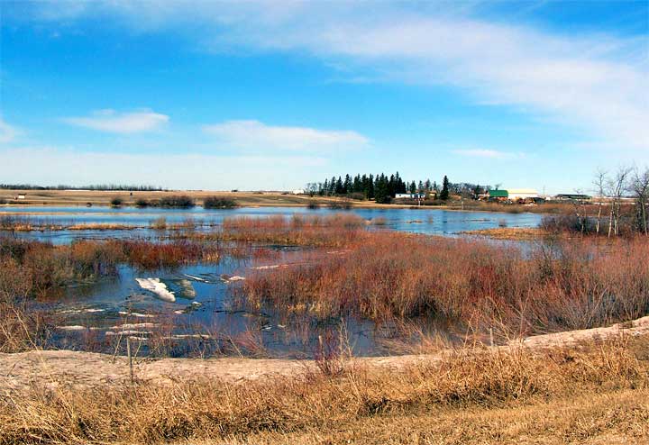
 I honest thought that this year the spring run off flood would be avoided because of the cool temperatures and gradual release of water. Well I was wrong, the last three days of above freezing temperatures have let the water out of the ice and remaining snow and the little Doghide just can not handle the volume.
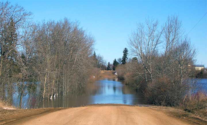
 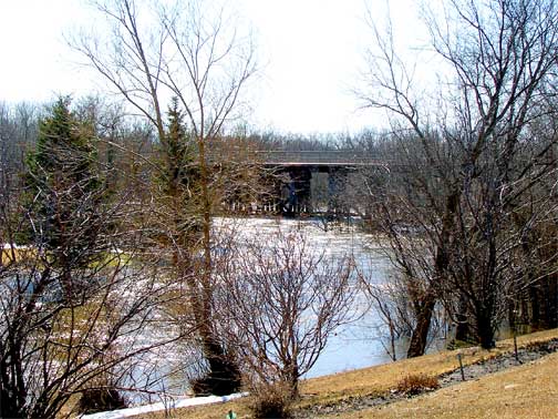 The flood area on the north side of the highway is now a lake as is the Riverside Golf club. In the past there have been some nasty floods of the golf course but this is one of the highest I have seen as you can see the water we have gurgled through on the road way is now completely blocked. (above)
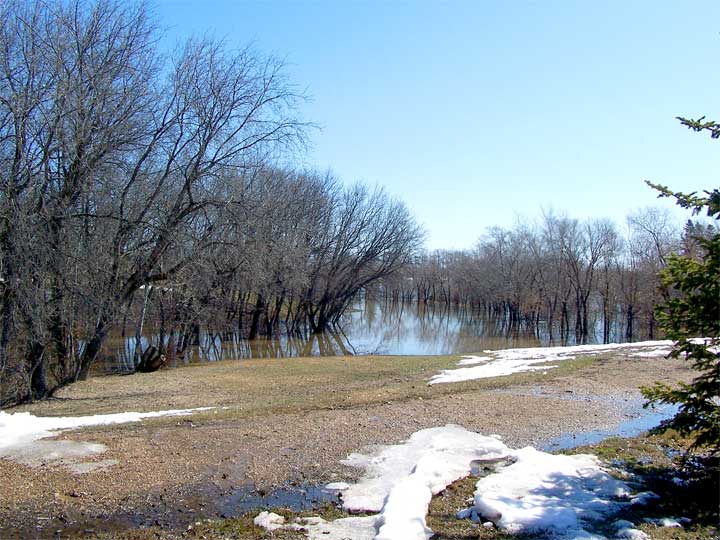
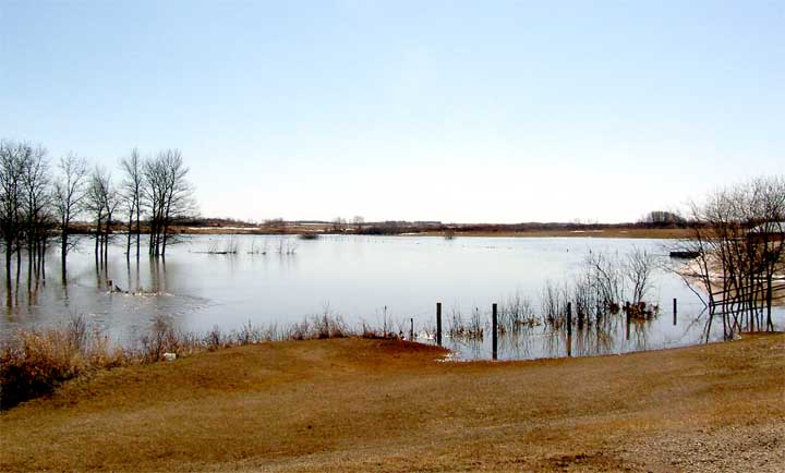
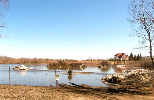 The image above was taken in St. Theresa Park where the water from the over flowing river has spread out covering the river bank walking trail and the trees.
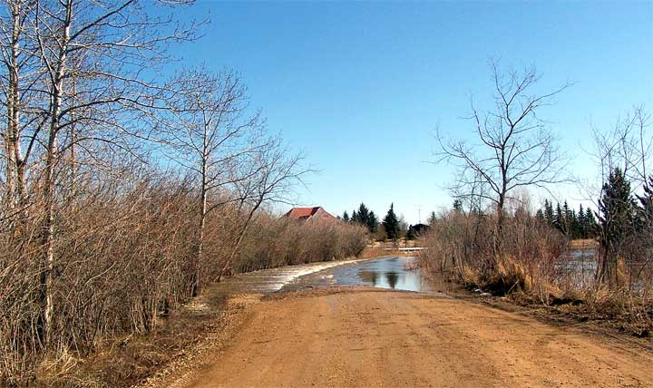
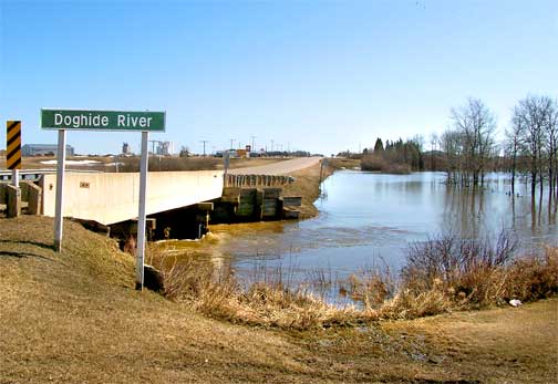
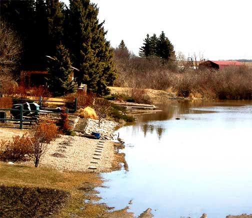 The houses along one area have all become beach front property with Canadas adorning their new beach.
 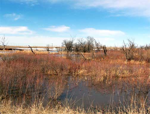 Further north along highway #35 the flooding is confined to the normal area affected but it is clear from these pictures that there is a huge volume of water making its way north. Let's hope the folks up along the Carrot River can swim.
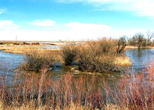 still in the fields last week from Bjorkdale to Weekes.