 |
| FTLComm - Tisdale - March 27, 2000 |
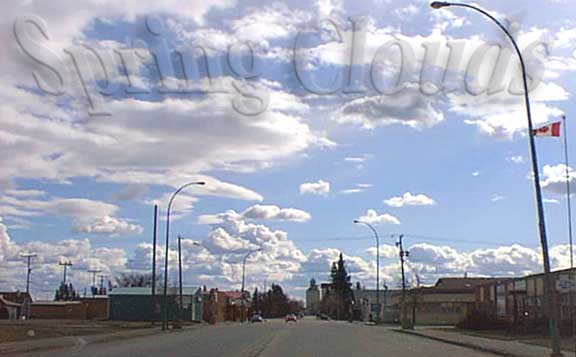
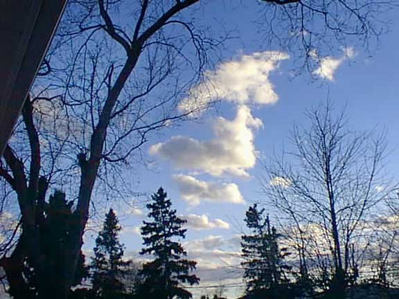
These pictures were taken Sunday afternoon as a steady 30 knot wind hustled across
us from the West. Skies like this indicate the development of cloud from rising warm
moist air that forms these cumulus clouds that with sufficient heat form towering
cumulus thunder shower like 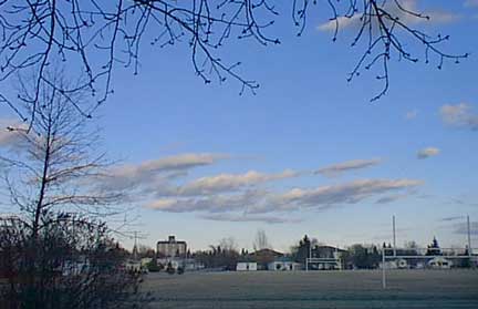 formations. However, the temperatures are still to low for this kind of
development but the dramatic change in clouds accompanies the change of seasons. formations. However, the temperatures are still to low for this kind of
development but the dramatic change in clouds accompanies the change of seasons.When I took the picture above I was immediately reminded of other springs and how clouds of this type are the sort of thing that probably lead humans to want to fly. The first spring I owned an airplane I vividly recall climbing up to look these immature cumulus clouds over as they are always low enough to reach and unlike their more mature relatives seen in the summer these are more benign and less likely to send you tumbling uncontrolled from the sky. You can climb to |
 them easily,
fly around them them easily,
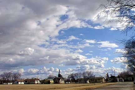
fly around themand feel the freedom of being a big bird with these fluffy friends to explore. The picture above right shows how quickly the skies can change under these circumstances with the picture on the right having been taken at the same time. One East and the other looking South. The picture below right was also snapped at the same time Sunday afternoon and in it we are looking up into the cloud only a few thousand feet above us, but dark and filled with precipitation. With in these gaseous structures warm wet air is ascending while cooler wet air with condensing water |
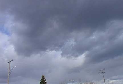 vapour
is descending vapour
is descending producing these swirls. Flying around them is still bumpy and with the high winds associated flying above them can be a miserable experience often with a conscious need to gaze at the horizon to stabilise the contents of one's stomach. As temperatures rise we will get some showers from these kind of clouds and there is always the potential for savage storms. High differentials in temperature from one air mass to another can produce extreme winds and with temperatures near freezing the notorious spring blizzards are produced by just a fraction more intensity to both wind and moisture content. |
 |
Click "Here" to return to Ensign Front page
Ensign, North Central Internet News, published daily by Faster Than Light Communications, FTLComm