|
|
|||||||||
|
Matthew Takes Us Across the Prairies |
|||||||||
| FTLComm - Winnipeg - Tuesday, March 11, 2003 Images by Matthew Shire and Dawn Larochelle | |||||||||
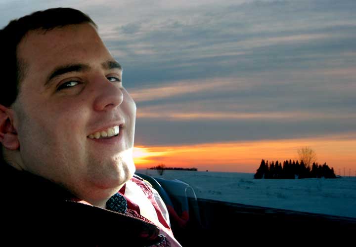
| Thursday March 6th Matthew left his office as snow and blowing snow swirled around the streets of Winnipeg after fueling up he headed West toward Regina. This set of pictures takes us along the Manitoba portion of the Transcanada Highway, over the overpass at Portage on into the setting sun towards Brandon. These pictures were taken using a Canon PowerShot C40. The last image in the sequence is near Oak Lake. | |||||||||
|
720 x 540 |
720 x 540 |
720 x 540 |
|||||||
| The view from Matthew's office a block North of Portage Avenue in Winnipeg. | Fueling up on the West side of Winnipeg on Portage Avenue. | Still within Winnipeg just West of the Perimeter Highway. | Ground drift toward Headingly. | ||||||
|
720 x 540 |
720 x 540 |
720 x 540 |
720 x 540 |
||||||
| Twenty minutes out and the visibility dramatically improved. | The East overpass at Portage la Prairie. | Looking West on the over pass. | |||||||
|
720 x 536 |
720 x 540 |
720 x 540 |
720 x 540 |
||||||
| Without a doubt the best tree on the TransCanada highway in Western Canada. | |||||||||
|
720 x 540 |
720 x 540 |
720 x 540 |
720 x 540 |
||||||
|
720 x 540 |
|
720 x 500 |
720 x 531 |
||||||
|
720 x 530 |
720 x 540 |
720 x 540 |
720 x 540 |
||||||
|
720 x 540 |
720 x 540 |
720 x 540 |
720 x 540 |
||||||
|
720 x 540 |
720 x 540 |
640 x 650 |
720 x 438 |
||||||
| This is near Oak Lake and in this part of Manitoba there are several outstanding examples of shelter belts along the highway. | Saturday afternoon and heading South West of Regina toward Avonlea. | ||||||||
|
720 x 540 |
720 x 388 |
720 x 490 |
On Saturday, March 8 the trip was down to Avonlea which is the location of the continental divide North of Avonlea the streams flow into Hudson Bay, South of Avonlea into the Missouri Basin and on to the Gulf of Mexico. Dawn Larochelle captured the bleak countryside with its light snow cover. | ||||||
| No question that this part of Saskatchewan certainly could use some more snow. | |||||||||
|
|
|||||||||
|
|
|||||||||