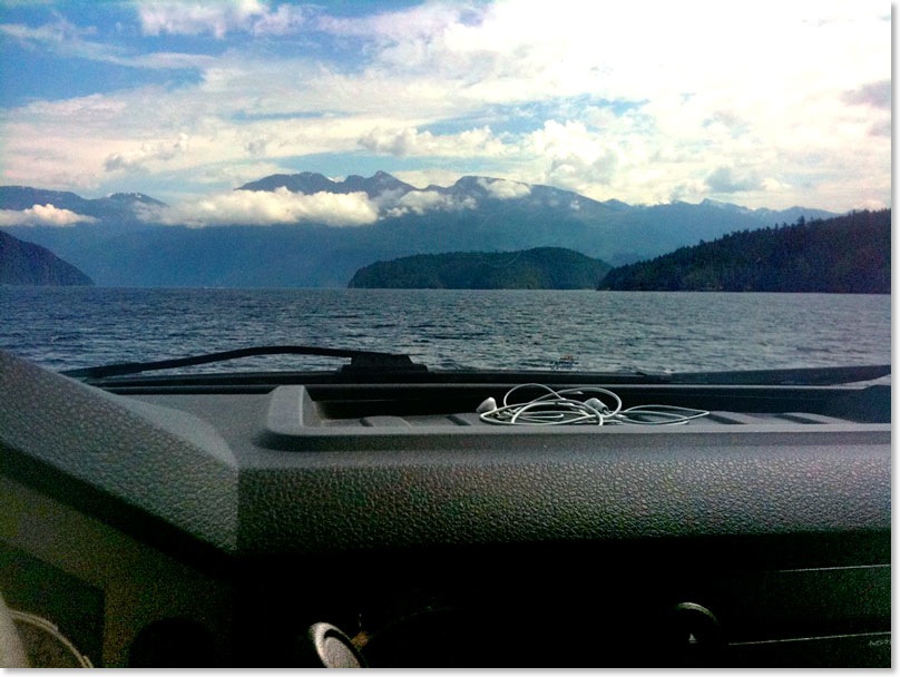
Pontoon Ford
Saltery Bay to Earls Cover, BC - Tuesday, August 2, 2011 by: Michael Townsend
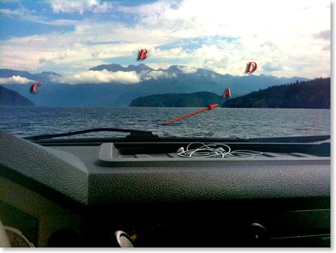
One of the remarkable things about this image and pictures taken with the iPhone is that embedded in the data for the picture is the GPS location that the picture was taken. When this image is opened in the application iPhoto a little map shows a red pin on the location. A click or two and the little map becomes a satellite image of the area and it is easy to pick out landmarks from the image on the satellite image.
In the picture on the right the arrow point to the passage between islands the ferry will enter as it will then turn from going southeast to southwest as it makes its way to Earls Cove. The passage between islands is marked as “A”. The small island to the left of “A” is Captain Island as you see it looking across Jarvis Inlet.
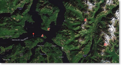
The land marked with a “C” is actually a peninsula and on it is located Harmony Island Marine Provincial Park. As with most locations along the coast there are substantial areas of clear cut forest. not visible in the pictures but visible on the satellite images.
The area labelled “D” is a long distance away and the peak between “D” and “B” is likely Mount Drew with Mount Sumner and Mount Louis at the centre of the image.
The marvels of digital photography continue to amaze us all and it is no wonder that the most commonly used camera now is not a camera at all but the ubiquitous Apple iPhone.