Tisdale, the crest has passed
FTLComm - Tisdale - Wednesday, April 20, 2011
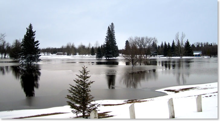
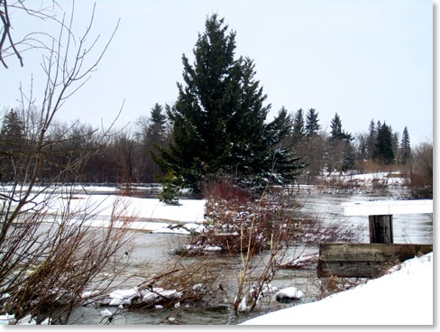
On this right is the way things looked at 1:00 on Saturday afternoon, April 16. The water was no longer flowing over the road but the whole area was still under water. It was surprising to see the ice had formed on the surface and you can see the level of ice clinging to things when the water level was higher.
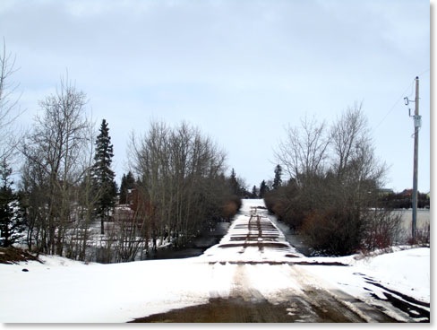
The snow fall in the area was close to six inches and in open areas there had been quite a bit of drifting so that ditches that had had this year's snow melted away were once again filled with fresh snow.
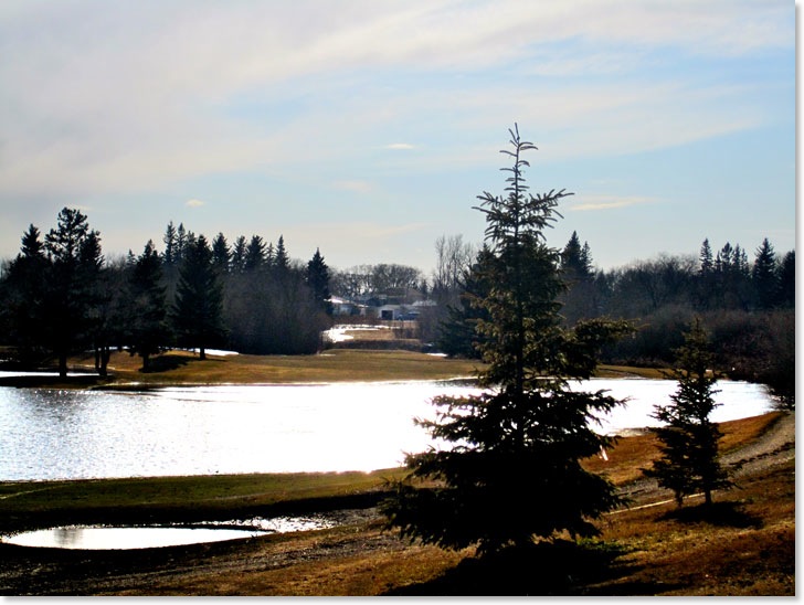
The whole process this year seems to have gone by relatively painlessly with the actual crest being somewhat lower than it has been in other years. The difference this year is not the height of the crest but the length of time the water flow in the river is remaining a such a high level. This appears to be the case over much of Eastern Saskatchewan and Western Manitoba. The high levels of water in the Qu'Appelle Valley system are being matched at the same time as the water ways into which this water flows are already at their highest levels so it is expected that the run off will continue for several weeks.
No large amounts of precipitation are expected in the next week and that means that the Dog Hide should just keep on flowing little by little less and less as the days go on. However, there is still a considerable amount of ice and snow tucked away in the fields and bush area south of town. But the worse is over for this year.
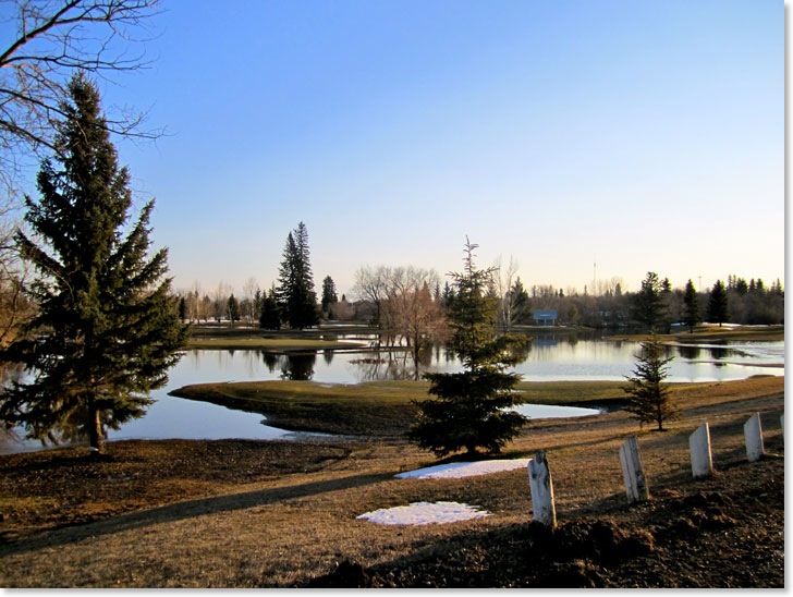
Below is the flooded golf course that is already starting to turn green as the water recedes. This picture was taken Monday at 7:00 PM.